Lichfield
| V・T・E |
| latitude: 52.684974, longitude: -1.82912 |
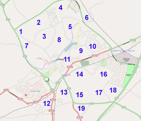
| Browse map of Lichfield 52°41′05.91″ N, 1°49′44.83″ W |
| Edit map |
|
| External links: |
| Use this template for your locality |
Lichfield is a city in Staffordshire at latitude 52°41′05.91″ North, longitude 1°49′44.83″ West.
The Midlands User Group met in Lichfield for a spot of mapping and social on the evening of July 2nd 2009. See Mappa Mercia page for more details. The Cake is show below.