At least one official bike route is dated and non-contiguous due to recent urban development. What was once NC2 (and formerly USBR 1) in the vicinity of RDU International Airport is one example. Route NC2 is obsolete, was tagged with state=proposed and operator= should be empty. (We should delete this entry, right?)
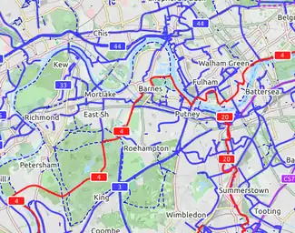
An international cycling map created from OSM data is available, provided by Andy Allan. The map rendering is still being improved, the data are updated every few days. It shows National Cycle Network cycle routes, other regional and local routes, and other cycling-specific features, such as:
dedicated cycle tracks and lanes
contours and hill colouring
bicycle parking
bike shops, toilets, drinking fountains, even pubs!
proposed bike routes (or numbering protocols), contrasted with the Lonvia map, below, which does not show proposed routes, but actual routes only
CyclOSM A free cycle-oriented map with more features than OpenCycleMap. See its wiki page CyclOSM.
Waymarked Trails: Cycling by Sarah Hoffman is a layer superimposed over mapnik (Standard Map Layer) which shows marked cycle routes around the world. Updated minutely, it renders actual routes without the state=proposed tag. Therefore no proposed routes (or proposed numbering protocols) are displayed.