Tag:hazard=queues_likely
 |
| Description |
|---|
| An area which frequently experiences a queue of cars backed up on the roadway |
| Group: hazards |
| Used on these elements |
| Useful combination |
| Status: approved |
| Tools for this tag |
|
A high traffic or queues likely area is an area which frequently experiences a queue of cars backed up on the roadway.
How to map
Queues likely hazards may be mapped in the following ways:
- Place a node at the location of the queues likely hazard traffic sign, tagged
traffic_sign=hazard+hazard=. - Tag a node along a
highway=*way at the location of the sign - Tag the section
 of
of highway=*where the queues likely hazard is present.
If the queues likely hazard is signed for certain times of the day (for example, rush hour), a conditional restrictions can be applied as well, such as hazard:conditional=queues_likely @ (Mo-Fr 06:00-08:00).
Signage examples
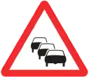
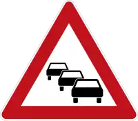
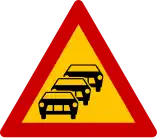
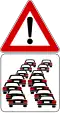
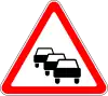
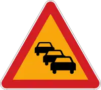
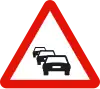
The tables below show what queues likely hazard signage looks like in various countries.
| Belgium | Czechia | Denmark | Estonia | Finland | France | Germany | Greece |
|---|---|---|---|---|---|---|---|

|

|

|
|

|

|
|
|
| Hungary | Italy | Luxembourg | Moldova | Netherlands | Norway | Poland | Portugal |
|---|---|---|---|---|---|---|---|

|
|

|

|

|

|

|

|
| Romania | Russia Belarus |
Slovakia | Slovenia | South Korea | Spain | Sweden | Switzerland Liechtenstein |
Turkey |
|---|---|---|---|---|---|---|---|---|

|
|

|

|
|
|

|

|

|
| Ukraine | UK |
|---|---|

|
 |