Tag:police=range
 |
| Description |
|---|
| A shooting range used for police training. |
| Group: police |
| Used on these elements |
| Useful combination |
|
| Status: approved |
| Tools for this tag |
|
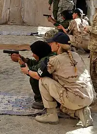
The tag police= is used to map a shooting range used for police training with firearms (guns).
How to map
Draw an area around the shooting range and tag as police= or place a node in the centre.