UK 2017 Q1 Project: Water
The first UK Quarterly Project for 2017 is Water.
The aim of this project is to find any mapping activity related to water. Previous projects have been very task-oriented, so this one is deliberately loose, but of you do want something to focus on then waterways with source=npe is a good start.
Suggested processes & tags
There is a page about United_Kingdom_waterways which includes tagging guidelines.
Resources
- OS OpenData:
- OS StreetView (this is available as a layer in the main OSM editors).
- OS Open Map - Local (has several water layers, updated 10/2016).
- OS Open Rivers (updated 10/2016).
Tools
- Visualisation of currently mapped features:
- OSM Inspector.
- OpenRiverboatMap.
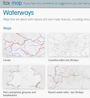
- ITO World maps of water features.
- Quality Assurance tools:
- There are many waterways tagged with source=npe. This is a historic map and the detail tends to be quite poor. You can find these waterways by running this script.
Previous projects
See the list of UK Quarterly Projects