This article or section may contain out-of-date information: The administration levels described here do not match the mapped data. If you know about the current state of affairs, please help keep everyone informed by updating this information. (Discussion)
The aim of this subproject is the mapping of the several types of administrative boundaries (admin_level=*) in Luxembourg. It is based on a proposal of User:Loll78 as stated here. A general overview of the tagging of boundaries you find here.
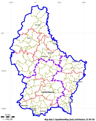
We have only a small hierarchy in the Luxembourg administrative regions:
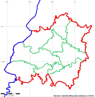
Country (1)
Cantons (12)
Communes (100)
To form the boundaries we use relations of type=boundary instead of type=multiplygon. They consist of ways (the physical boundaries), are closed and can include relations of lower hierarchies.
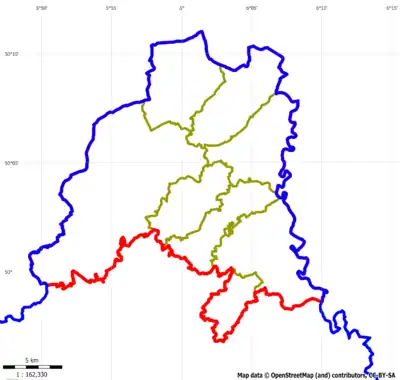
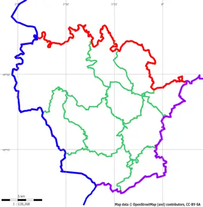
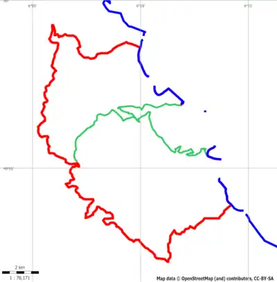
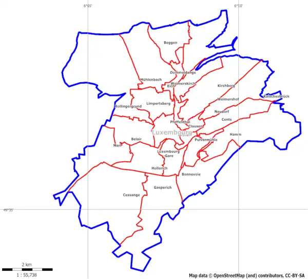
The admin level is a numeric representation of the position in the administrative hierarchy. The highest level is admin_level=1 and reserved for supranational boundaries. The national boundary is tagged with level admin_level=2, and then we have country specific levels. In Luxembourg, there we have cantons (admin_level=6) and within the cantons we have the communes (admin_level=8). Additionally, we have the quarters in Luxembourg City and Esch-sur-Alzette, we give them the tag admin_level=9.
Ways
To form a border of an administrative area we have at first to create the ways the physical border consists of. We have to take care that the ways is split every time another border is branching, because we have to set different tags depending on the left/right area of the border. May be the hierarchy level changes as well at the node.
We use the following tags for the ways to form administrative boundaries:
The word "Border" followed by the names of left and right areas (The names of the highest level areas!)
left:*=* right:*=*
We still use the tags for the left and right areas (in respect with the direction of the way), even they are obsolete because of the relations (see below)
The usage of the left:*=* and right:*=* tags is as follows:
left:region=* and right:region=* left:county=* and right:county=*
Canton names, we also add the tags for the underlying communes
8
Commune border
left:county=* and right:county=*
Commune names
9
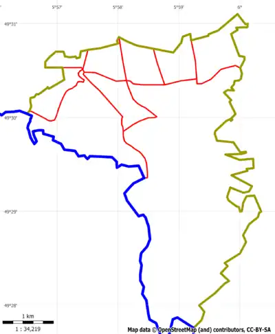
Quarter border
left:arrondissement=* and right:arrondissement=*
Quarter names (only in Luxembourg City and Esch-sur-Alzette)
Relations
To form a closed polygon for administrative areas we connect ways (the borders) to form a ring. If we have enclosed administrative areas (e.g. a District consists of several Cantons and a Canton consists of several communes) we add them to the relation as well.
The ways have the role outer (look here for details) and the lower level boundary relations have the role subarea.
The relations get special tags:
The tag is_in=* is under discussion. The reason is, that the information, where a specific administrative area lies in, can also be geographically obtained from the database. But we use it anyway to make it much more easier to build a hierarchy of administrative areas.
Expect of the tag is_in:continent=Europe we define all possible upper is_in=* tags in the lower hierarchies, i.e., the lower the hierarchy level, the higher is the number of is_in=* tags.
In addition to the ways of the physical boundary, the relation includes the sub relations in the hierarchy, i.e. the districts Luxembourg, Grevenmacher and Diekirch, and the capital with the role admin_centre.