Thailand
| ⌂ Main | Projects | Naming and Addressing | Transportation | Places and Boundaries | Other Features | |||||||||||||||||||||||||||||||||||||||||||||||||||||||||||||||||||||||||||||||||||||||||||||||||||||||||
|
Thailand OSM relation is 2067731 CommunityThere are some users in Thailand, add your own username if you map in Thailand by adding the following category to your user page (you can add your town or city at the same time). A nice tool from geofabrik labs was used to generate an animated gif of Thailand. It shows the progress of OSM in Thailand. A big THANK YOU to the community for making that huge progress. Keep on the good work. Local Communities
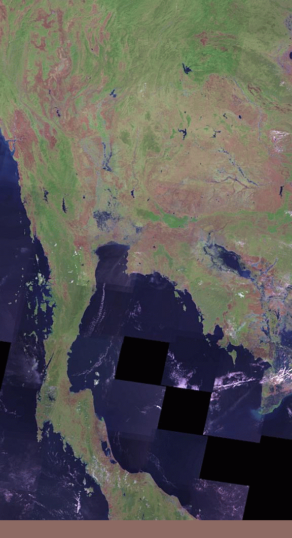
ContactsThese are platforms where you can engage in discussions with others on various aspects of OpenStreetMap, particularly mapping in Thailand. You are welcome to post either in Thai or English. Should you have any questions regarding OpenStreetMap in Thailand, feel free to pose them there. EventsFor past events, see WikiProject Thailand/Past Events GuidelinesIn general we follow as many of the global tagging standards as possible. Where there is Thailand-specific guidance, it is documented across multiple subpages, which can be accessed from the tab bar at the top of the page. Quality controlData sourcesAerial imageryIn addition to a survey with GPS one may also use some aerial images if available with a suitable license. While Bing aerial imagery is available in many parts of the world and is the default layer in ID editor, it can be very outdated in rural areas of Thailand (often +5 years). A recommended with more recent imagery would be Maxar and ESRI. Landsat provides low-resolution satellite imagery of the whole country and is available with different image modes. Official sourcesLegislation and other official proclamations by the Royal Thai Government are exempt from copyright protection. Maps accompanying documents published in the Royal Thai Government Gazette (available at http://mratchakitcha.soc.go.th/ ) may be useful as sources for manual tracing (e.g. of national parks). GIS data is available from several government agencies, but are presumed to be protected by copyright and unsuitable for import. The Department of Highways provides a publicly accessible database of national highways at http://roadnet.doh.go.th. As above, the data is considered unsuitable for systematic import, but is useful as a source for confirmation of data and quality assurance. The Department of Rural Roads publishes indices of rural highways at http://maintenance.drr.go.th/th/DRR. They include route numbers and names (which typically describe the route's start and end points), location, length, and start and end coordinates (although the coordinates appear quite unreliable). The local highway registry is available at http://lmp.drr.go.th/lmp/waydata/main.html. |
||||||||||||||||||||||||||||||||||||||||||||||||||||||||||||||||||||||||||||||||||||||||||||||||||||||||||||||
