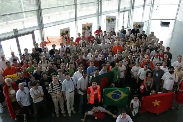
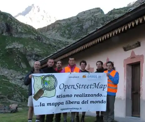
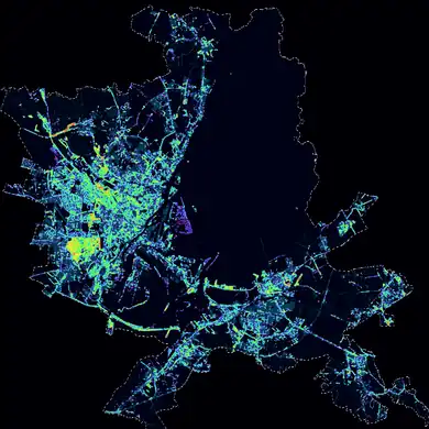
These are featured images, which have been identified as the best examples of OpenStreetMap mapping, or as useful illustrations of the OpenStreetMap project.
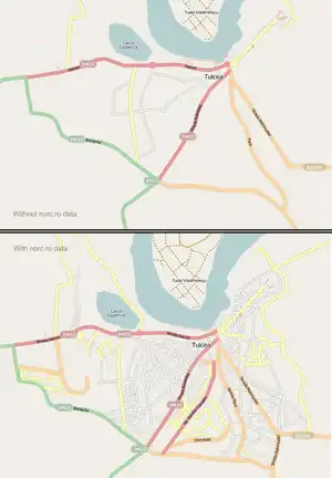
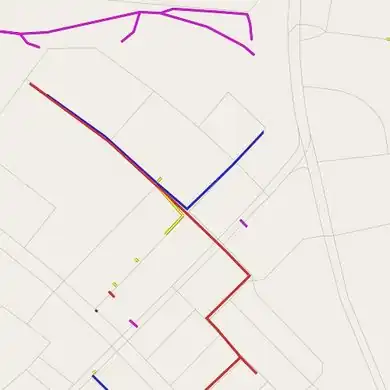
Based on the second batch of tracks and panoramic images from norc.ro, the Romanian contributors organized Virtual Mapping Party Romania 2009 (still in progress). In the image you can see the progress in Tulcea after a few days work.
Week 5 (1–7 Feb2025-02-01–Error: Invalid time.)
English
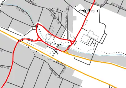
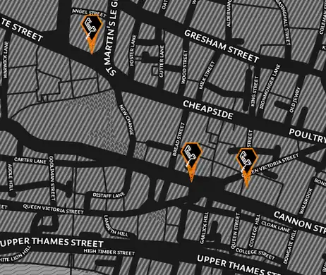
Nothing left to map? Try underground pipelines, deduced from manholes, wall markers and open pit construction work.
Week 6 (8–14 Feb2025-02-08–Error: Invalid time.)
English
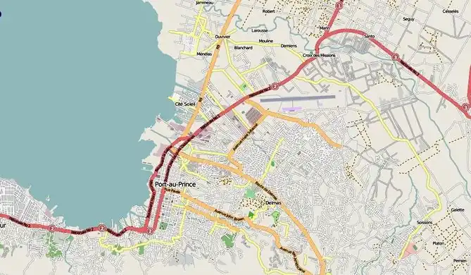
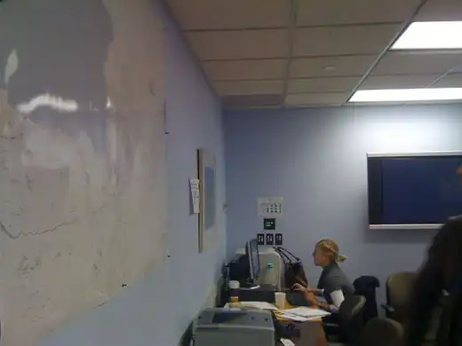
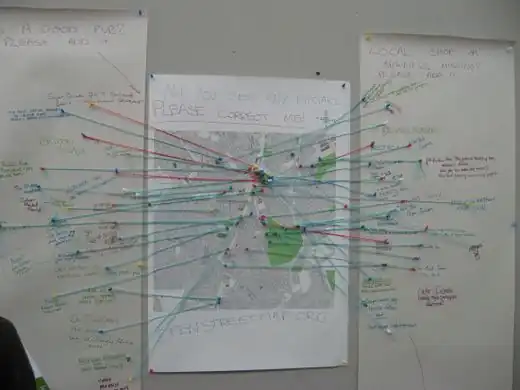
Large printouts of OpenStreetMap on the walls of the World Banks Situation Room for the Haiti Earthquake response.[1] These maps are serving as the basic infrastructure information for response and rebuilding activities.
Week 7 (15–21 Feb2025-02-15–Error: Invalid time.)
English
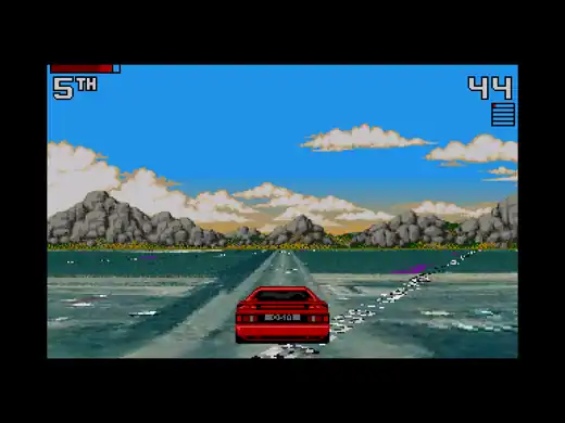
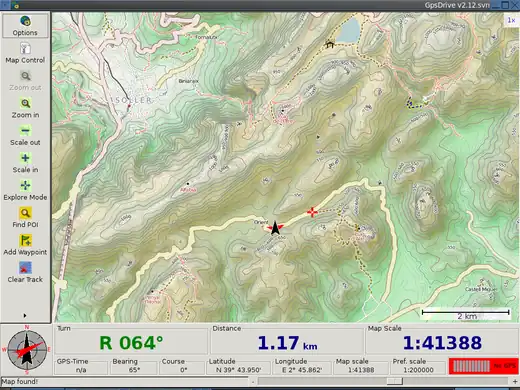
A JOSM plugin lets you record GPS traces by driving an early 90s sports car in WMS imagery land.
Week 13 (29 Mar – 4 Apr2025-03-29–Error: Invalid time.)
English
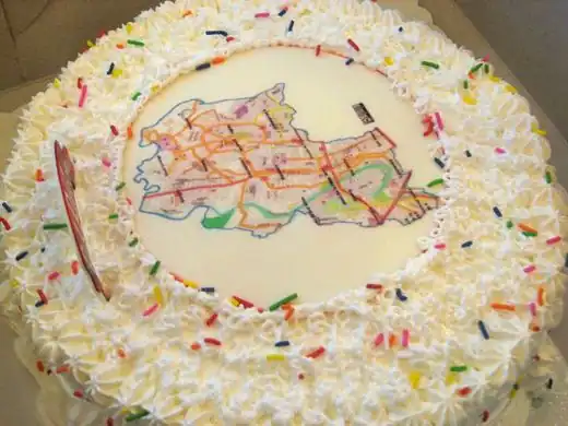
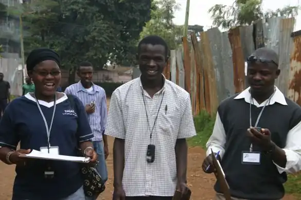
OpenStreetMap Workshop at FEATI University in Manila, Philippines. An OSMer is teaching geodetic engineering students how to operate the GPS units and the cake slices for the field mapping is in the foreground.
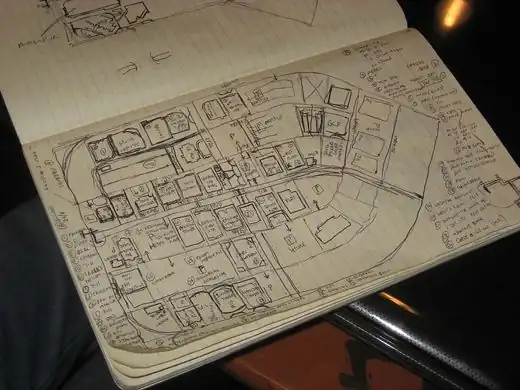
You don't need fancy gear to do mapping for OSM. Sometimes, all you need is a sketchpad, pen and some attention to detail. Here's seav's sketchpad of the Ortigas slice during the Ortigas-Mandaluyong Mapping Party.
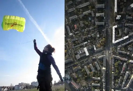
Kite photography from up to 650 m / 2000 ft altitude (and a flying OSM advert) – some early results. Photographer: "Imagery will hopefully be served as tiles / WMS for use in editors"
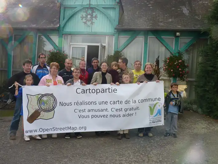
A great day mapping for residents of Montreuil-le-Gast ([4]) (Brittany, France). The first time for many of us, but ultimately a great success! To be continued...