To map an area of bare rock you can just draw a line closing on itself, marking the area as bare rock. To map larger or more complex areas you can use relation:multipolygon with the same tag.
It can be mapped as a node (if there is no way to map it as a geometry), especially when someone wants to map name or some other additional properties. But mapping as an area is strictly preferable.
Examples
Precambrium Granite exposed at "The Castle" near Wellington Lake, Colorado, USA.
Triassic Limestone (Wettersteinkalk) in the "Wilder Kaiser", Northern Calcareous Alps (Austria, Scheffau)

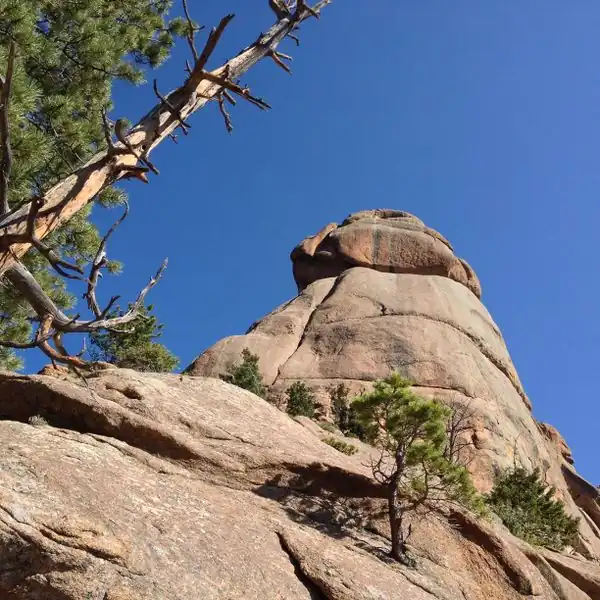 Precambrium Granite exposed at "The Castle" near Wellington Lake, Colorado, USA.
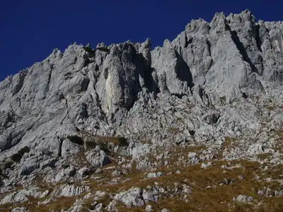 Triassic Limestone (Wettersteinkalk) in the "Wilder Kaiser", Northern Calcareous Alps (Austria, Scheffau)
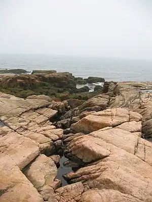
 Stony coast at Susak Island, Croatia